


Transportation information for Delaware Water Gap is provided below. Travel information includes driving directions, maps, airport information and more.
Transportation Services
Preferred Limousine & Car Service
- Manahawkin
- Transportation Services
- 732-353-3024
Milford Tri-State Taxi Inc
- Milford
- Transportation Services
- 570-296-8294
Central Jersey Transportation
- Toms River
- Transportation Services
- 732-703-6595
Joy Transportation
- Middletown
- Transportation Services
- 845-386-5215
Gst-Transport Corp
- Belvidere
- Transportation Services
- 908-475-8475
Streetwise Transportation
- Middletown
- Transportation Services
- 845-551-0598
Rayna Transportation
- Phillipsburg
- Transportation Services
- 908-213-0073
Martz Park & Ride
- East Stroudsburg
- Transportation Services
- 570-420-1744
United Limo Service
- Hackettstown
- Transportation Services
- 908-979-9991
Airports
Most visitors to the Delaware Water Gap National Recreation Area will fly into either the Lehigh Valley International Airport located roughly 65 southwest in Allentown, PA or to the Newark International Airport located roughly 70 miles southeast in Newark, NJ. Both airports are serviced by major airlines providing flights to destinations all over the nation.
Map + Directions
Basic Directions
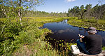
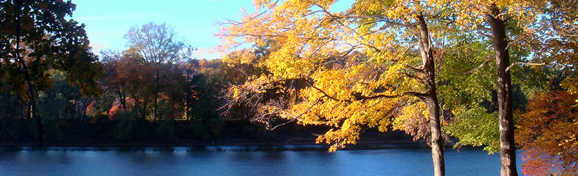
The Delaware Water Gap, a two mile long gorge, is located in the northwestern most region of the state along the New Jersey/Pennsylvania border approximately 80 miles northwest of New York City and approximately 135 miles north of Philadelphia. It runs through the Kittatinny Mountains, and is part of the Delaware Water Gap National Recreation Area. Access to the area is provided along Route 209 from I-80 on the Pennsylvania side and along Route 560 from Route 206.

